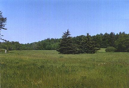
Thompson Farm fields, 1998
Introduction
The Thompson Farm, adjacent to Packers Falls Road and the Lamprey River is a 204.7 acre property located in Durham, NH. The property consists of agricultural fields, uneven-aged stands, streams, and wet areas. There is a small working farm area and an extensive trail system, which connects with the trail system at West Foss Farm, is in good condition. In addition there is an active beaver swamp on the property.
History
The Thompson Farm has been a working farm since the 1800's. The land was actively farmed for nearly 50 years before being leased to the Thompson's in the 1920's. The Thompsons purchased the land in the 1940's. In 1972, Ina Thompson, the last remaining daughter of the Thompson family, gave the land to UNH under the agreement that she receive firewood in the winter and vegetables in the summer and fall while she maintained her chicken coop on the property.
Present use
Mountain biking, cross country skiing, hunting, and running are the main recreational uses of the Thompson Farm woodlands. Sugar maple tapping and timber harvesting are among the other activities practiced in this area. Areas on Thompson Farm were logged in 2006-2009 and 2016-2019 as part a demonstration of expanding-gap harvesting methods for managing uneven-aged forests.
Directions
(Access to the Thompson Farm can be obtained from either the West Foss Farm or through the Highland House property.
Access through the West Foss Farm:
Take Mill Road south until you reach the bridge that goes over railroad tracks. Take the immediate left over bridge onto a dirt road. After the gate and down the dirt road, will bring you through the Foss Farm and onto the Thompson Farm.
Access through the Highland House Property:
Take Mill Road south to Packers Falls Road. Take a left onto Packers Falls and stay on road until you reach Bennett Road. At the Highland House property is the Thompson Farm.
APPROXIMATE LOCATION: N 43°06.535', W 70°56.912