Introduction
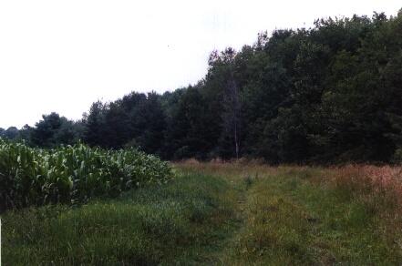
The Moore Fields property is 118 acres. The southern half, which is actively cropped agricultural fields, is 76 acres. The northern portion, which is wooded, is approximately 42 acres. Its primary use is for natural resource labaratory classes. It also provides research areas for UNH soil science courses and agriculture.
History
Originally called the Moore Lot, it was given to the University of New Hampshire by Eugene L. Moore on October 20, 1941. Agricultural activity is high on these properties; most recent timber harvest occurred in 2016. The goal of these timber harvests was to regenerate white pine and thin around future white pine crop trees.
Directions
Take Mast Road, RT155A out of Durham towards Lee. After you pass the UNH Sawmill on your left, the Moore Fields property is the large field complex on your right. The woodlot is behind these fields and just south of Route 4. Contact the Woodlands office for access through the chained gate. If you park along the road please don’t block the gates.
Approximate Location: 43°08'30.4"N 70°57'40.7"W