The Bearcamp property was bequeathed as a part of a large land gift to the University in 1939 by Frank S. Lord, a prominent resident of Carroll county. These properties were given so as to benefit the students of Carroll County and to help fulfill the University’s research and educational goals. This lot is periodically harvested as part of UNH’s sustainable timber harvesting program and a portion of all proceeds from the sale of timber goes towards scholarships for Carroll County students. The most recent harvest occurred in the winter of 2015-2016 and was part of a research project that examines the relationship between canopy density and needlecast disease in white pine trees.
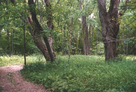
The Bearcamp property is approximately 36 acres and has extensive frontage on the Bearcamp river. Forested areas are primarily white pine although an example of a Silver Maple savannah can be found along the Bearcamp river flood plain. This property is an excellent white pine site and is a prime example of a shelterwood harvesting system, a highly productive silvicultural method of regenerating quality white pine.
Directions
Closest GPS address: 180 Newman Drew Road, Ossipee.
From Durham, take Route 16 North to Ossipee. Turn left on Newman Drew Road just past the Lord cemetery. Take Newman Drew 1.3 miles, just past the campground and a red house on the right to a logging road blocked by a large log. This is the access road for Bear Camp River.
APPROXIMATE LOCATION: N 43°48.631', W 71°11.895'