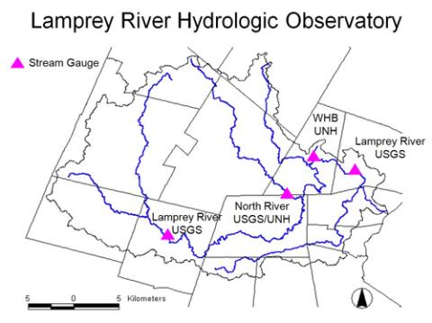
Maps of the LRHO
Maps were created in GIS by Michelle Daley with layers from GRANIT. Click on the maps to see full browser version.
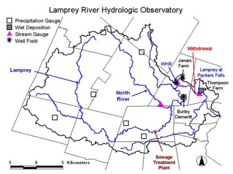
Infrastructure of the LRHO
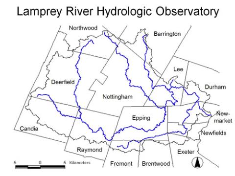
Towns in the LRHO
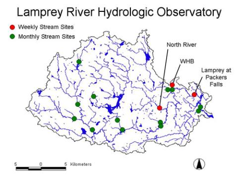
Stream sampling locations in the LRHO
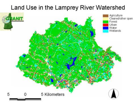
LRHO land use cover
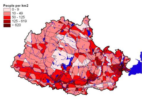
LRHO population density
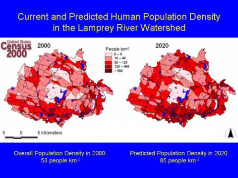
LRHO current vs predicted population density
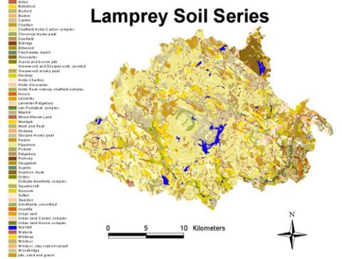
LRHO soil series
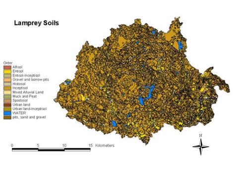
LRHO Soil order
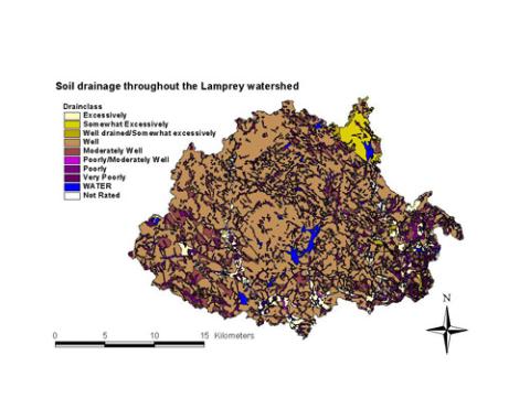
LRHO soil drainage
Data Available
Click on a sampling location on the map to see information and a picture of that site. Click on the link below the map to see data available (when available).
Stream water quality data & sampling locations in the lrho

Stream gages in LRHO and discharge data
Discharge data is available for 3 of 4 sites through the USGS. Click on stream gage location to go to corresponding USGS web page. The North River gage was operated for only 3 years (2004 - 2006). The WHB gage is operated by Matt Davis at UNH.