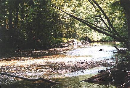
The Lovell River property was bequeathed as a part of a large land gift to the University in 1939 by Frank S. Lord, a prominent resident of Carroll county. These properties were given so as to benefit the students of Carroll County and to help
fulfill the University’s research and educational goals. This lot is periodically harvested as part of UNH’s sustainable timber harvesting program and a portion of all proceeds from the sale of timber goes towards scholarships for Carroll County students. The most recent commercial harvests on this property were in 2006 and 2013.
The Lovell River property is approximately 490 acres and has extensive frontage on the Lovell River, which makes it an important tool for UNH research. Professors use these properties as outdoor classrooms and our researchers use them for study.
In 2013 the Lovell River experimental forest was established; a replicated harvest design was implemented so the area could be used for future research. During the summer of 2013, our team of technicians measured and catalogued over 1300 crop trees within the harvest area to create a baseline dataset.
Directions
Compartment A & B (North of the Lovell River)
Take the Spaulding Turnpike north to Center Ossipee, (approx. 48 miles). Take a left at Pine Hill Road. This road turns to gravel; a short, paved section on a sharp corner adjacent to a white house on the right marks where you turn left on an old town road which is also now a driveway. Follow this road past a house on the right until the road becomes less developed. Park here but try not to block the road. The northern boundary is on the southern side of the power line back several hundred feet from where you park.
APPROXIMATE LOCATION: N 43°46.945', W 71°11.059'
Compartment C & D
Take the Spaulding Turnpike north to Center Ossipee (approx. 48 miles). Turn left directly across from a golf course, just past the lane dividers. If you have not gotten a key from the Woodlands Office, park to the side, leaving access to the gate (says “State Property No Trespassing”).Following the gravel road you are on UNH property after you cross under the power lines. This is the Lovell Access property. Continue to follow the main woods road to the west. Once you cross over the railroad tracks this becomes the Lovell River property.
APPROXIMATE LOCATION: N 43°46.457', W 71°10.063'
